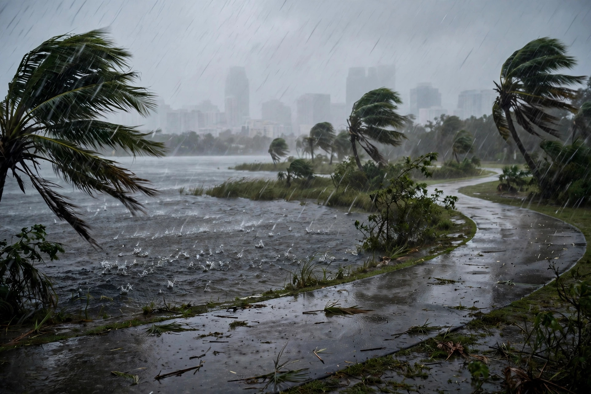
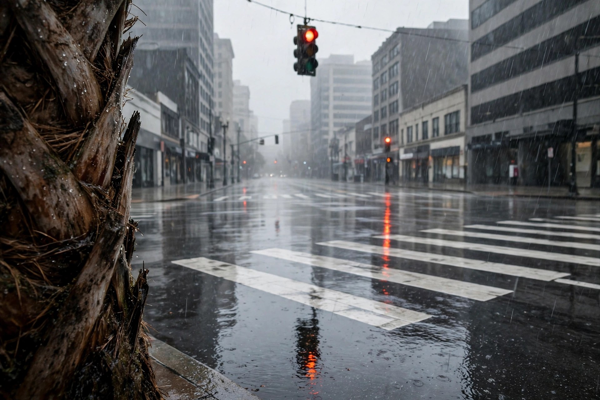
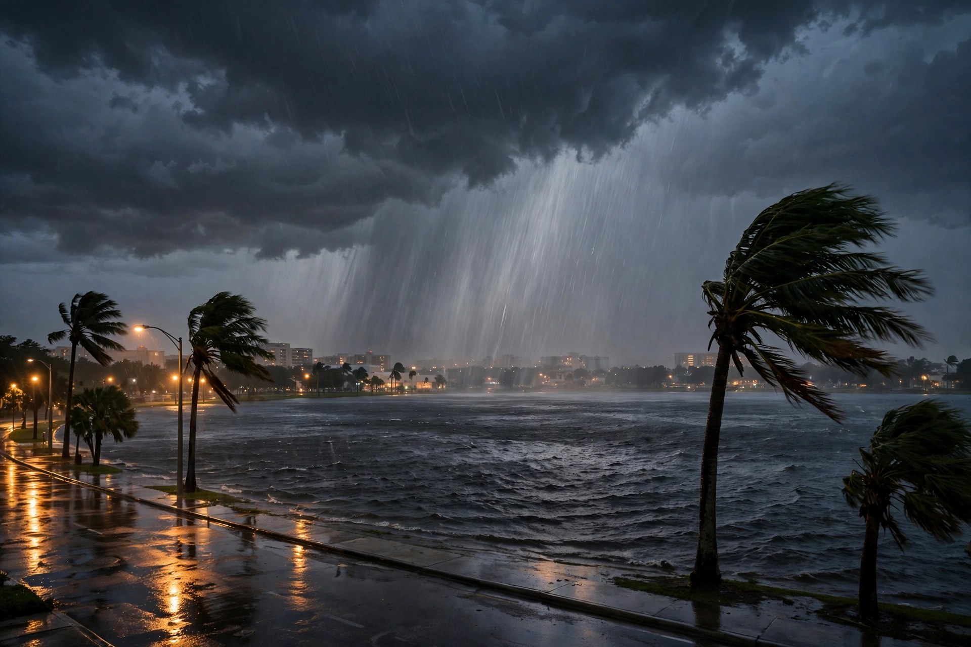
Flood Watch Now Covers Orlando Itself: Orange, Osceola and Seminole Counties Are In Through Monday at 3 P.M., With 5 to 7 Inches Possible in Spots
The National Weather Service in Melbourne put all of east central Florida under a flood watch Sunday night — 1 to 3 inches of rain are expected across most of the area, 5 to 7 inches or more where the heaviest bands sit, and flash flooding is possible through Monday afternoon.
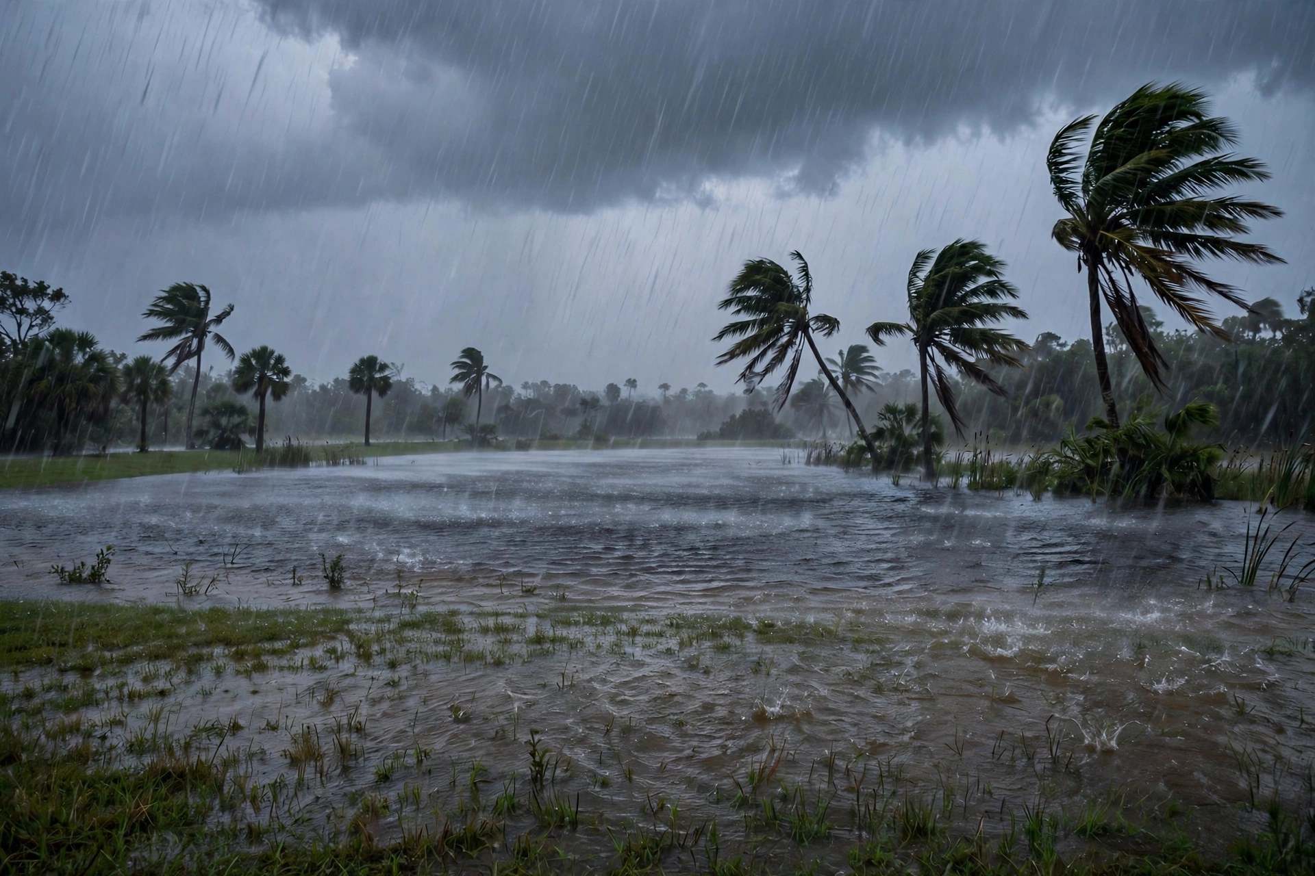
Orlando is inside the flood map now. The National Weather Service in Melbourne issued a flood watch at 8:06 p.m. Eastern on Sunday covering Orange, Osceola and Seminole counties, along with northern and southern Lake County and inland and coastal Volusia County, in effect through 3 p.m. Monday. The watch text says flooding caused by excessive rainfall continues to be possible, and that excessive runoff may flood rivers, creeks, streams and other low-lying and flood-prone places. A disturbance from the Gulf is moving over Central Florida and pulling in very moist air, forecasters say.

The numbers are what make this more than a rainy Monday. Widespread rainfall of 1 to 3 inches is forecast across most of the watch area, with localized amounts of 5 to 7 inches or more where the heaviest rain bands repeat — the setup that produces flash flooding. The station's own live feed agrees on the shape of the day: Monday carries a 97 percent precipitation chance, the highest of the week, with a high of just 75.9 degrees. The Weather Service expanded the watch Sunday night to include all of east central Florida overnight, its Melbourne office said, as rain that had already soaked the region Sunday kept falling.
A watch is a preparation product, not a warning: it means flooding is possible, and residents should keep an eye on forecasts and watch for any flood warnings that follow. The practical steps are the familiar ones — never drive through flooded roads, give low-lying streets and creek crossings a wide berth, and expect standing water on the Monday morning drive. The disturbance is expected to stall over Florida late Monday into Tuesday, so rain chances stay moderate into Election Day even after the watch expires Monday afternoon.