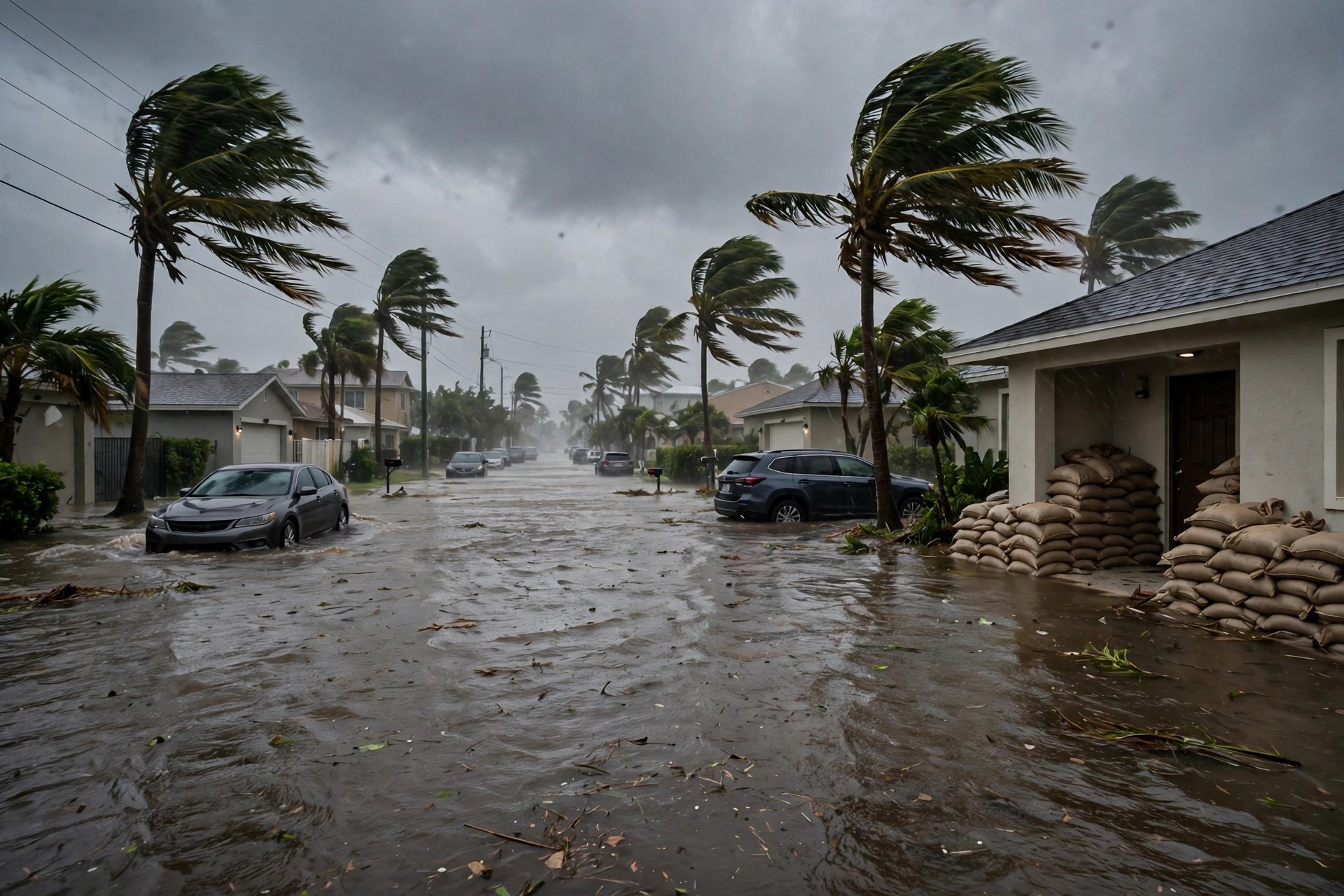
Brevard's Flash Flood Emergency Is Downgraded to a Warning — but the Flood Watch Now Runs Through Tuesday Morning
The National Weather Service replaced southeastern Brevard's flash flood emergency with a flash flood warning at 1:38 p.m., after 15 to 20 inches of rain, and extended the flood watch for Brevard, Volusia, Indian River, St. Lucie, Martin and Okeechobee through 10 a.m. Tuesday. County officials say the water should recede as the storm tapers Monday evening — and the sheriff's instruction has not changed: stay put.
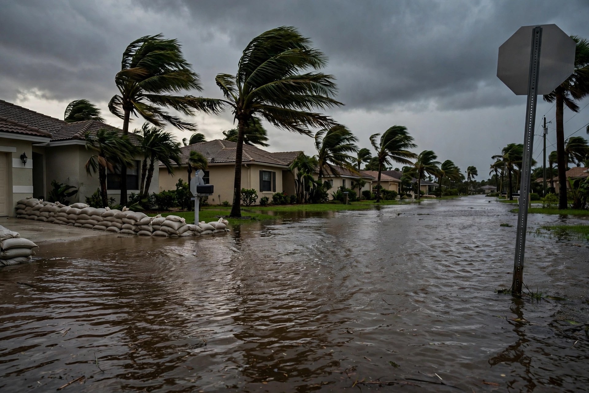
The worst label came off Brevard County on Monday afternoon, and the clock got longer. At 1:38 p.m., the National Weather Service in Melbourne replaced the Flash Flood Emergency for southeastern Brevard County with a Flash Flood Warning running until 3:45 p.m. for Palm Bay, Melbourne, West Melbourne, Malabar, Grant-Valkaria, Micco and Melbourne Beach — saying radar and automated gauges showed 15 to 20 inches of rain had fallen, with 1 to 3 more inches possible, and that life-threatening flash flooding was already occurring. In the same afternoon, the Weather Service issued a flood warning until 5:30 p.m. for central Martin and south central St. Lucie counties, including Palm City, after 6 to 14 inches there, and extended its Flood Watch for Brevard, Volusia, Indian River, St. Lucie, Martin and Okeechobee counties through 10 a.m. Tuesday. That extension does not include Orlando: Orange, Osceola and Seminole Counties' own flood watch still expires at 7 p.m. tonight.

"We are wet north to south, and we're seeing it especially heavy in the south," John Scott, executive director of the Brevard Emergency Operations Center, said in the county's livestreamed afternoon update. The north end of the county took 5 to 7 or 8 inches, with isolated spots at 10, Scott said, while from U.S. 192 down to the county line the totals are "15 to 20 pretty easily" across West Melbourne, Palm Bay and Malabar into Grant-Valkaria, with some of it on the Melbourne Beach side. By 2:30 p.m., Melbourne's airport had recorded 13 inches of rain between Sunday and Monday. Scott said he expects floodwaters to recede as the storm tapers off Monday evening.
The emergency posture has not relaxed with the wording. Sheriff Wayne Ivey told the afternoon press conference his department has been inundated with 911 calls for people trapped in homes and is bringing in larger vehicles to reach areas where the water is too high. "If you can stay put, stay put," Ivey said. "We're seeing significant traffic crashes, we're seeing vehicles that are trapped in the middle of the road." Officials asked that 911 be reserved for people who are trapped and need assistance, rather than for reporting flood damage. "We will get to you," Ivey said. "I don't care if we have to swim to you or kayak to you." No evacuation orders have been issued.