Flood Watch Covers Miami-Dade, Broward and Palm Beach From 10 A.M. Today Through Monday Afternoon, the Weather Service Says
Bands of heavy rain riding strong easterly flow could drop three to five inches on parts of Florida's east coast, with isolated totals near seven — enough for street flooding, especially around high tide. Orlando is not in the watch.
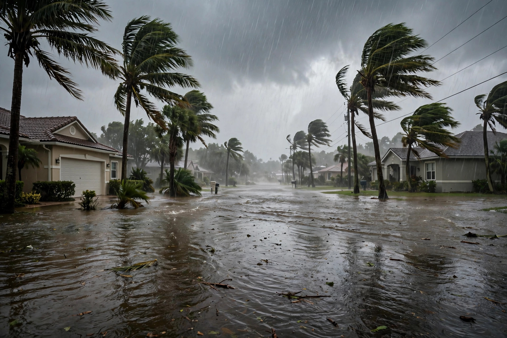
South Florida's wet Sunday is now a formal alert. The National Weather Service in Miami issued a flood watch at 12:43 a.m. for all of Miami-Dade, Broward and Palm Beach counties, in effect from 10 a.m. Eastern today, Sunday, November 1, through Monday afternoon at 3 p.m. An upper-level low moving over Florida, combined with strong low-level easterly flow, is expected to produce bands of repeated rainfall over the same east-coast neighborhoods — the setup the watch text describes as capable of causing urban and street flooding.

The rainfall numbers are the story: scattered locations could receive three to five inches, with isolated totals of five to seven inches, according to the reporting summarizing the watch, and the Weather Service identifies possible street flooding and road closures — especially where heavy rain overlaps with high tide. The coast carries its own stack of alerts alongside the watch: a coastal flood advisory for coastal Palm Beach and Broward through Monday evening, a high surf advisory through this evening, and a high rip current risk through Monday evening, with breaking waves of 5 to 8 feet.
For Central Florida readers, the boundary is clear: Orlando is not in the flood watch, and Orange, Osceola and Seminole Counties carry no flood alert in this morning's products — Orlando's Sunday rain is the milder system in the Weather Desk's 05:00 file. The watch matters here for the I-95 and Turnpike drives south, for family in Broward and Palm Beach, and for anyone flying through Miami or Fort Lauderdale, where the FAA's Sunday plan already flags possible ground stops after 10 a.m.