The Flood Watch Now Runs to 7 P.M.: Orlando Starts Monday at 97 Percent Rain, With an Advisory Over Oviedo, Winter Park and UCF Overnight
The National Weather Service in Melbourne reissued the watch Sunday night with a later expiry — 7 p.m. Monday for Orange, Osceola and Seminole Counties — the station's live feed puts Monday's rain chance at 97 percent, and an overnight flood advisory covered Sanford, Oviedo, Winter Park and the UCF area until 4:45 a.m.

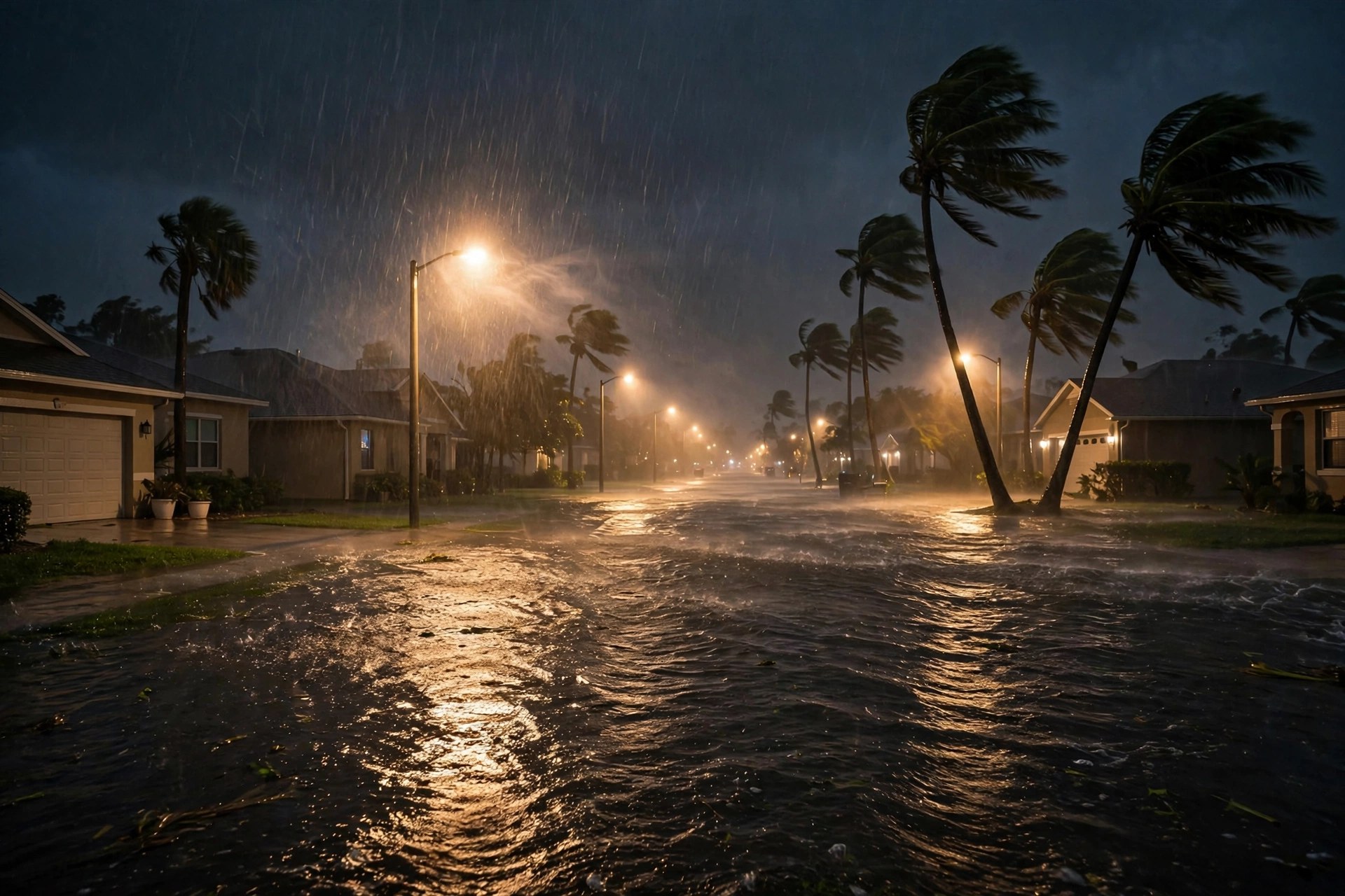
Monday's rain now has a longer leash. The National Weather Service in Melbourne reissued its Flood Watch for east central Florida at 11:09 p.m. Eastern on Sunday, and the watch now runs until 7 p.m. Monday evening — four hours past the 3 p.m. expiry the station carried overnight. Orange, Osceola and Seminole Counties are all in it, along with Lake, Brevard, Volusia and the Treasure Coast counties. The watch's own numbers did not soften: widespread rainfall of 1 to 3 inches, with localized amounts of 5 to 7 inches or more where the heaviest bands set up, and flash flooding possible in those spots.

The overnight hours showed why the extension came. A Flood Advisory covered Sanford, Titusville, Oviedo, Winter Park and the University of Central Florida area until 4:45 a.m., on top of the watch — short-fuse alerts for rain that had already fallen on saturated ground, in the same overnight window that brought flash flood warnings to Brevard County, filed separately by the Florida Desk this cycle. The station's live feed, read at 5:27 a.m. Central, puts Orlando at 68.2 degrees under a heavy-rain code, with Monday's precipitation chance at 97 percent, a high of only 76.5 and a low of 68.1.
The week still turns after today. Election Day on Tuesday carries a drizzle code at a 48 percent chance and a high of 79.3 — damp at times, not a washout, on the current feed. Wednesday holds rain at 47 percent and 85.3 degrees, Thursday warms to 88.0 with rain down to 16 percent, and the weekend remains the clear payoff: Saturday sunny at 84.6 with a low of 70.0, Sunday at 81.1. Until 7 p.m. today, though, the watch's advice governs: excessive runoff can flood low-lying and flood-prone spots, and standing water on the roads is part of the day, not a surprise in it.